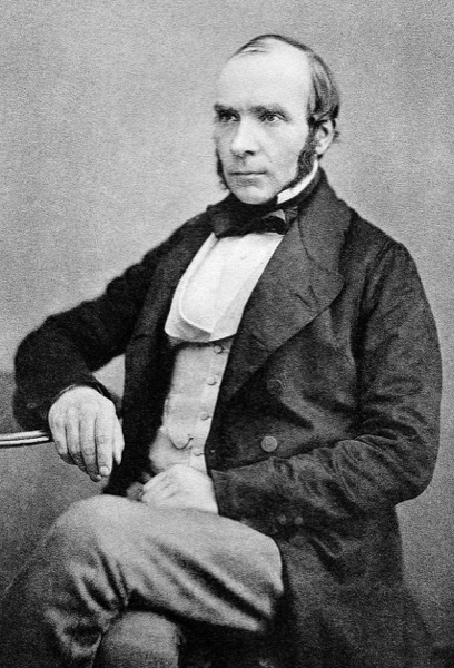
John Snow
Epidemiological spatial mapping and source tracing of the 1854 Broad Street cholera outbreak
“When an organization blames vague environmental factors (miasma) for recurring failures, plot the spatial coordinates to isolate the single corrupt upstream source.”
The Architectural Breakthrough
During the devastating August 1854 cholera outbreak in London Soho district, prevailing medical dogma attributed the disease to airborne miasma (foul air). Anesthesiologist Dr. John Snow rejected this unprovable hypothesis and applied empirical spatial telemetry.
Snow plotted individual cholera deaths as bar charts directly onto a street map of Soho. The visual concentration pointed unmistakably to the Broad Street water pump. Snow interviewed residents, established that workers at a nearby brewery with a private well had zero infections, and had the pump handle removed, terminating the outbreak.
Connected Advisory & Architecture Research
Cross-Disciplinary LineageSnow spatial clustering during the 1854 Broad Street cholera outbreak proved that correlating failure anomalies with physical topologies isolates root causes far faster than speculative theorizing. This principle drives our work on MTTI: The Forgotten Metric of Modern Resilience and An MTTI-Driven Incident Reduction Program.
Attribution & Historical Context
Snow mapped cholera deaths around the Broad Street public water pump in Soho, London, and persuaded the local parish board to remove the pump handle.